Skip to main content
Main navigation
News
Events
Exhibitions
1846: Inventing Americana at the John Carter Brown Library
Simon Bolivar, The Libertador
Upcoming Events
Past Events
Research
Using the Library
Instructional Support Guide
Requesting Materials
Resources and Publications
Image Permissions & Requests
Catalog
Fellowships
Opportunities
Fellows Directory
Life in Residence
Remote Fellowship Program
Visit
Visiting the JCB
Requesting Materials in the Reading Room
Collection Highlights
Places
Languages
Themes
Periods
Genres
About
Mission
Initiatives
History
People
Leadership
Staff Directory
Toggle Search
Search
Search
Search Menu
Online Catalogue (BruKnow)
Place
World
Share
Facebook
Twitter
Email
Featured Items
The English pilot, Book 4
William Fisher; John Thornton
1745
Orbis Typus Vniversalis Iuxta Hydrographorum Traditionem
1513
[Portolan atlas] / Vesconte de Maiolo ciuis Janue conposuy
Vesconte Maggiolo
1511
Ymago mundi
Pierre d'Ailly
circa 1483
Breves in sphaeram meditatiunculae
Bartholomaeus Mercator
1563
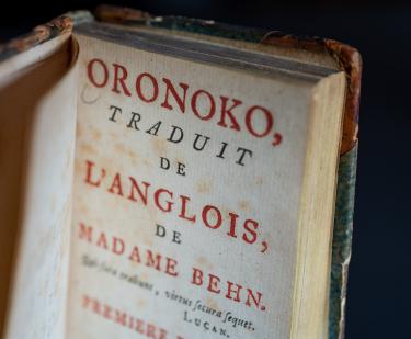
Oronoko
Aphra Behn
1745
The sea-atlas or the watter-world
Hendrick Doncker
1626-1699
Redondez de la tierra, y de los Abitadores de ella
María de Jesús de Agreda
1600s
Show More
Related
Collections Up Close
Philippe Buache, “Carte Physique de la Grande Mer ci-devant nommée Mer du Sud ou Pacifique…” from Cartes et tables de la géographie physique ou naturelle: présentées au roi le 15 mai 1757, Paris: 1770
August 30, 2021
Lecture
Kings and Slaves: Diplomacy, Sovereignty, and Black Subjectivity in the Early Modern World
Friday, October 4 at 5:30pm
Lecture on the African-European Encounter to Kick Off New JCB Initiative (and 75th Anniversary Meeting)
August 23, 2019
Islamic Encounters: America, Europe, and the Middle East before 1835
Fall 2008 - Winter 2009
The Spanish American Revolutions: Setting the Stage
Atlantic Materia Medica
Winter - Spring 2007
America and the China Trades, 1750-1850
Fall 2010
Off to College: Higher Education in the Americas, 1551-1825
Spring - Fall 2014
Show More
See Also
The Arts
Pilot
Otomatik - 23.185.0.1
CloudFlare DNS
Türk Telekom DNS
Google DNS
Open DNS
OSZAR »